- Summary
- Objectives
- Status
- Project Publications
- Gallery
The Tamil Nadu Forest Department funded a short-term study of the Point Calimere Wildlife and Bird Sanctuary, near Nagapattinam to prepare a land cover map of the sanctuary area and its surroundings using available satellite imagery, investigate habitat usage by birds, and identify changes vegetation communities, with specific reference to the invasive Prosopis juliflora.
- To prepare a land cover map of the sanctuary area and its surroundings using available satellite imagery and to give details of land use patterns in the area
- To build profiles of salinity and pH of water over the area, and correlate this to habitat usage by birds
- To look at different vegetation communities and identify changes in vegetation health, with specific reference to the problems caused by the invasive Prosopis juliflora
- Enumeration of flora at selected sites
- Census of mammals in the park
- To conduct socio-economic surveys in the human habitations around the park to assess levels of dependence upon the park
Survey of Point Calimere Wildlife sanctuary was done between December 2004 and May 2005. The key findings include:
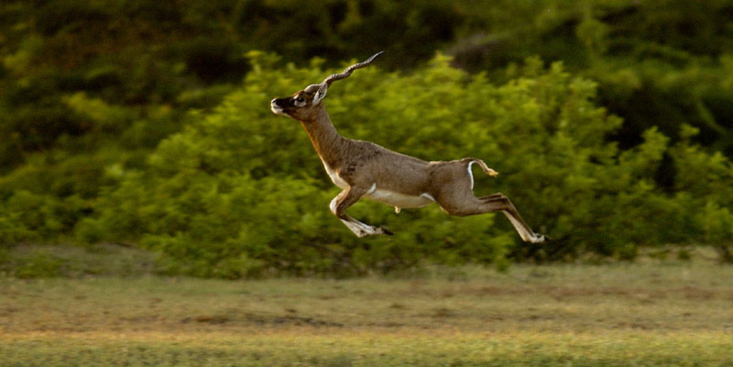
The most important finding is that Prosopis is now a problem weed destroying both tropical dry evergreen forest critical to birds and coastal grasslands, critical to a healthy blackbuck population. This threat needs to be eliminated. This can be done in a manner as to benefit landless people living on the fringes of the sanctuary.
Line transect is a more efficient way of estimating animal numbers in the park than the existing method of total counts.
Hyper-salinity in the salt pans, in the areas surrounding the park will likely affect the bird populations negatively since the marine organisms lower in the food chain may not be able to survive in them. This becomes a priority study for future action.
A report was submitted to the Forest department, Tamil Nadu.